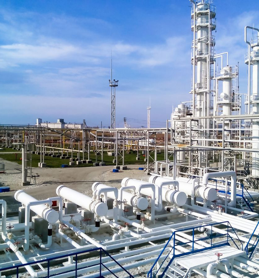


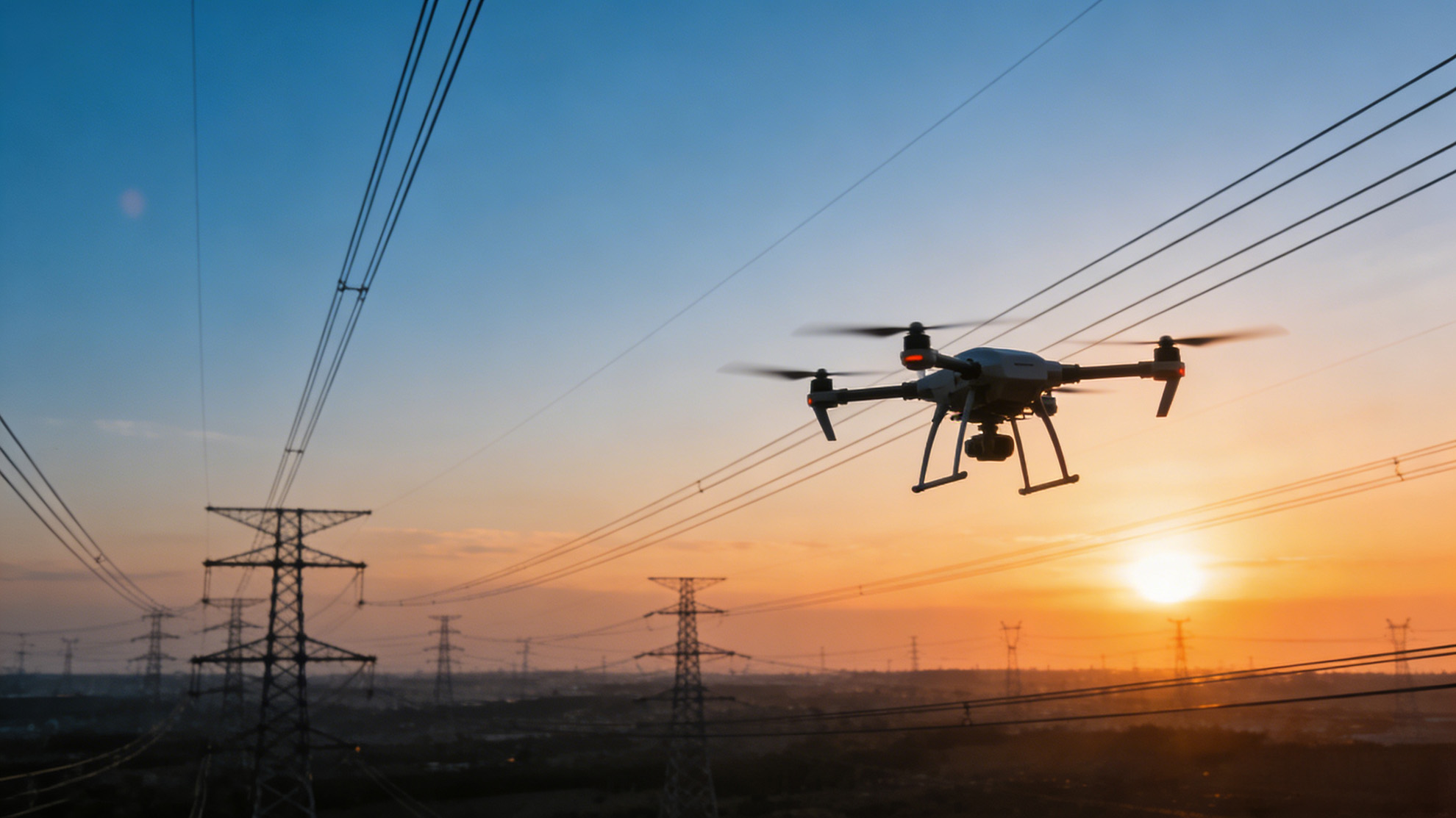
01 — Power Inspection
Dual-sensor payload with AI-powered defect recognition for fully autonomous, precision inspection at 10× the efficiency.
Core Advantages
Equipped with a 640×512 infrared thermal imager and 4K visible light dual-sensor payload, combined with our proprietary AI defect recognition algorithms.
View Full Solution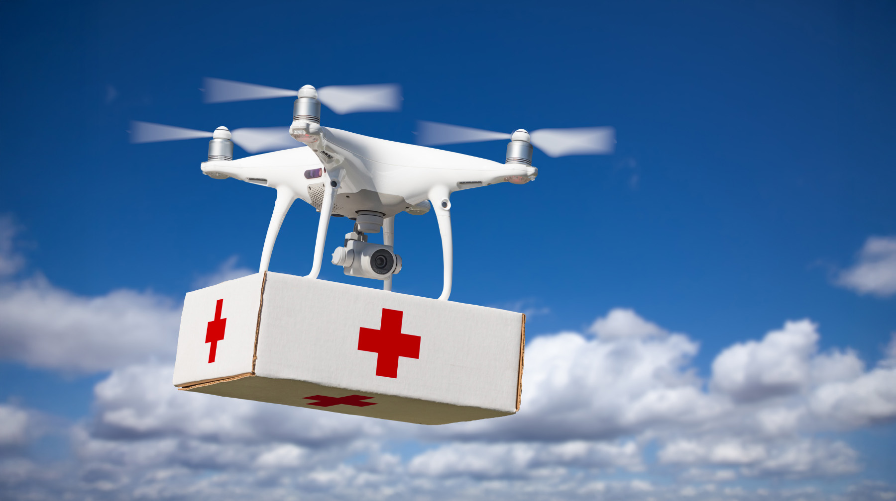
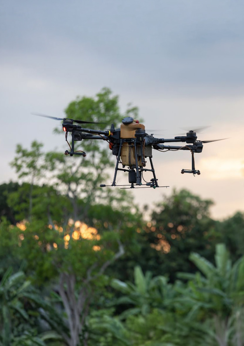
02 — Emergency & Rescue
Purpose-built for extreme conditions with rapid deployment and multi-payload integration.
Core Advantages
Integrated high-power searchlights, real-time loudspeaker, precision airdrop module, and more.
View Full Solution
03 — Security & Patrol
24/7 intelligent aerial surveillance paired with autonomous drone-in-a-box systems.
Core Advantages
Paired with our proprietary drone-in-a-box docking station for fully autonomous takeoff, landing, charging, and data upload.
View Full Solution
04 — Mapping & Surveying
LiDAR and oblique photogrammetry for rapid, high-precision 3D spatial data acquisition.
Core Advantages
Equipped with high-precision LiDAR and a five-lens oblique photography system, combined with RTK/PPK positioning.
View Full SolutionShot on JCTY
More Industries